A data-analysis and storytelling project designed to raise public awareness. Built with HTML, CSS, and JavaScript using data from multiple platforms and institutions, including MapBiomas, CPT, IBGE, OBPOPRUA, CAU, INCRA, CAR, and CNIR.
Category: WebStatus: publishedCommunication and accessibility
Project overview
The project organizes a dense subject in a friendlier interface designed to make reading, navigation, and comprehension easier for different audiences.
The work involved turning information into a digital experience while maintaining clarity, strong visual hierarchy, and responsive behavior across screen sizes.
Project screens
01/14
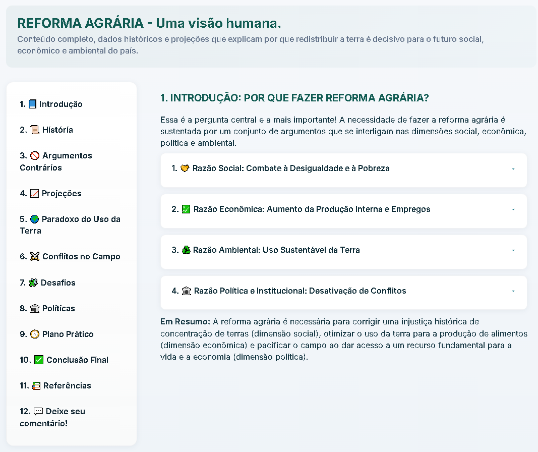
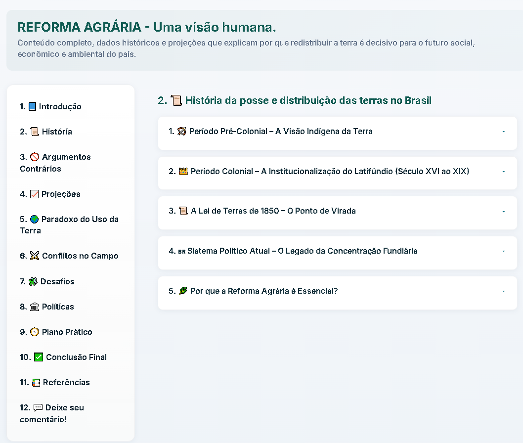
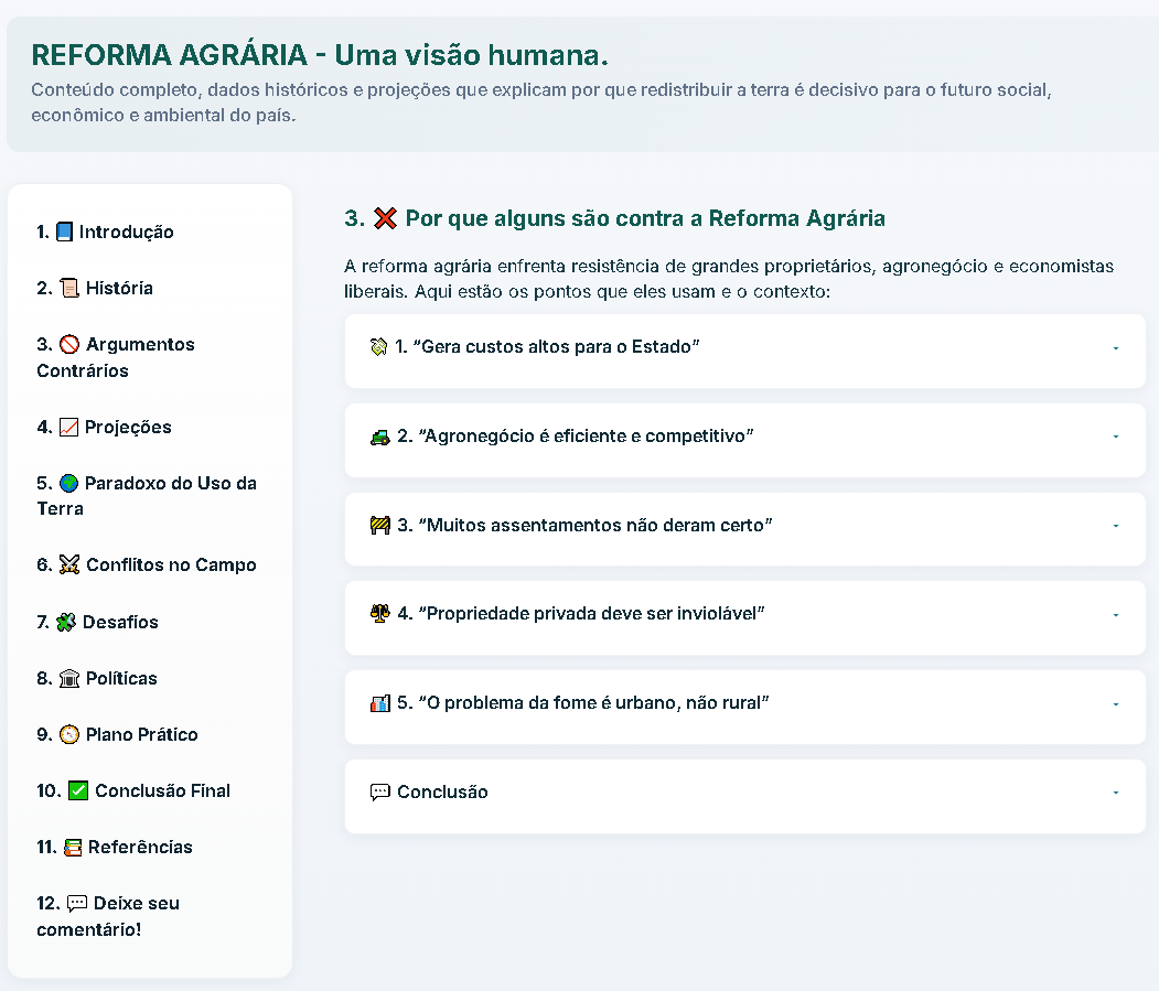
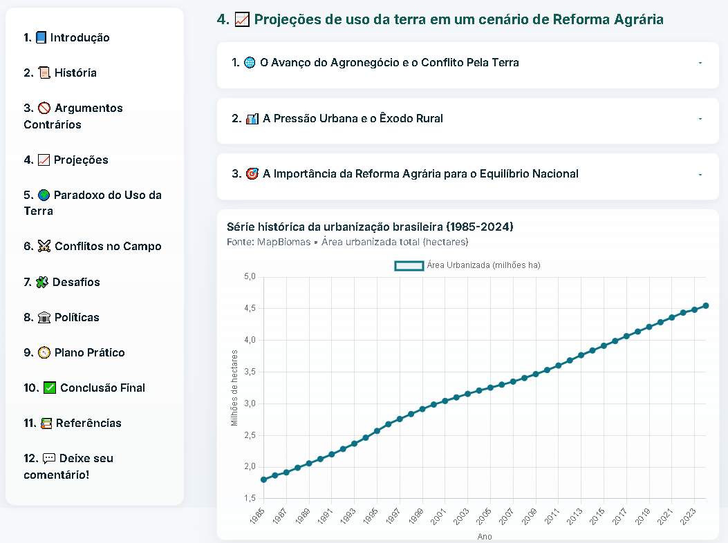
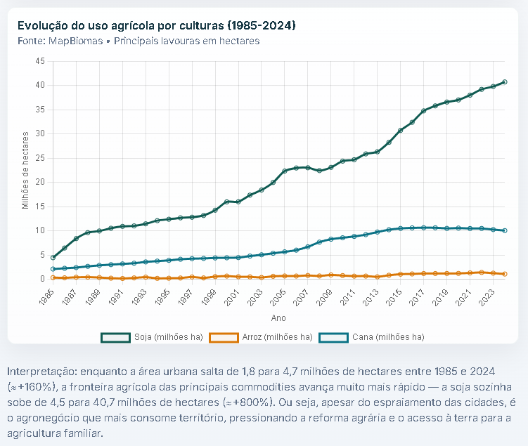
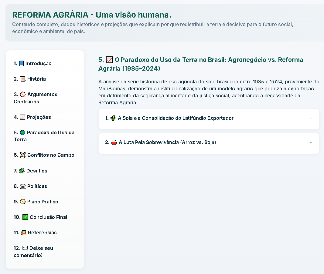
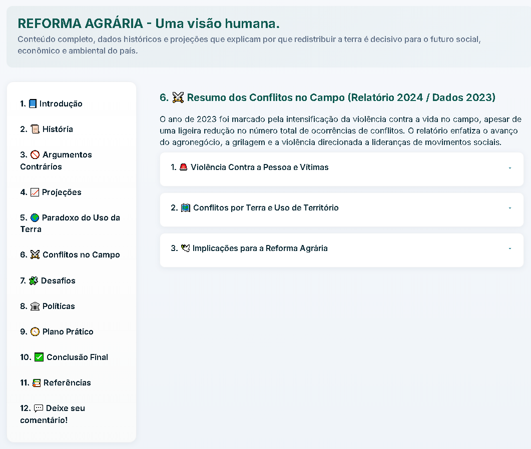
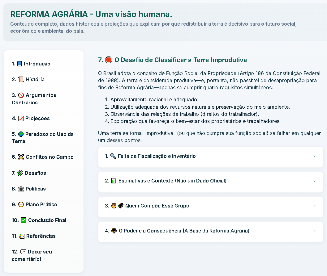
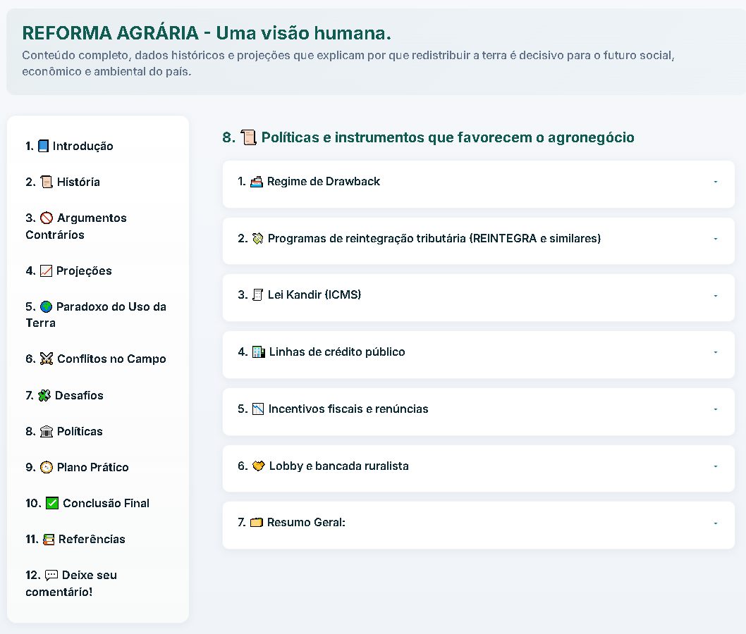
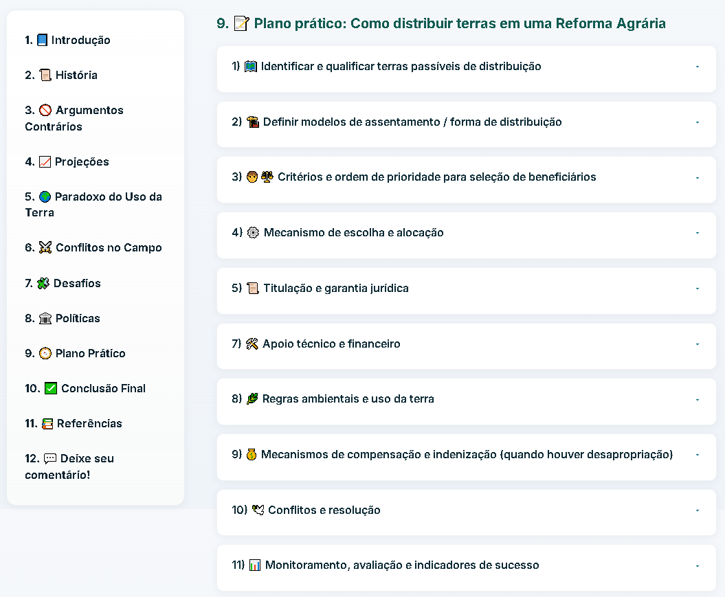
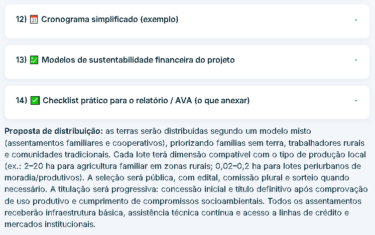
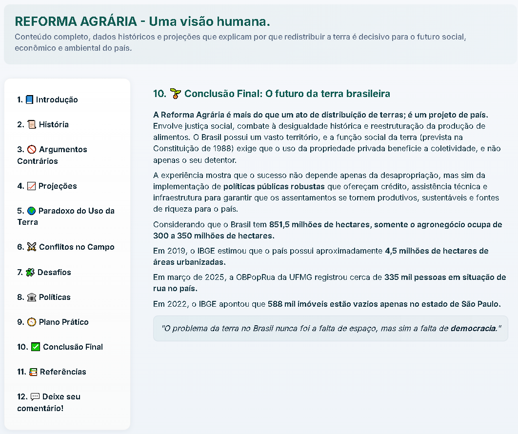
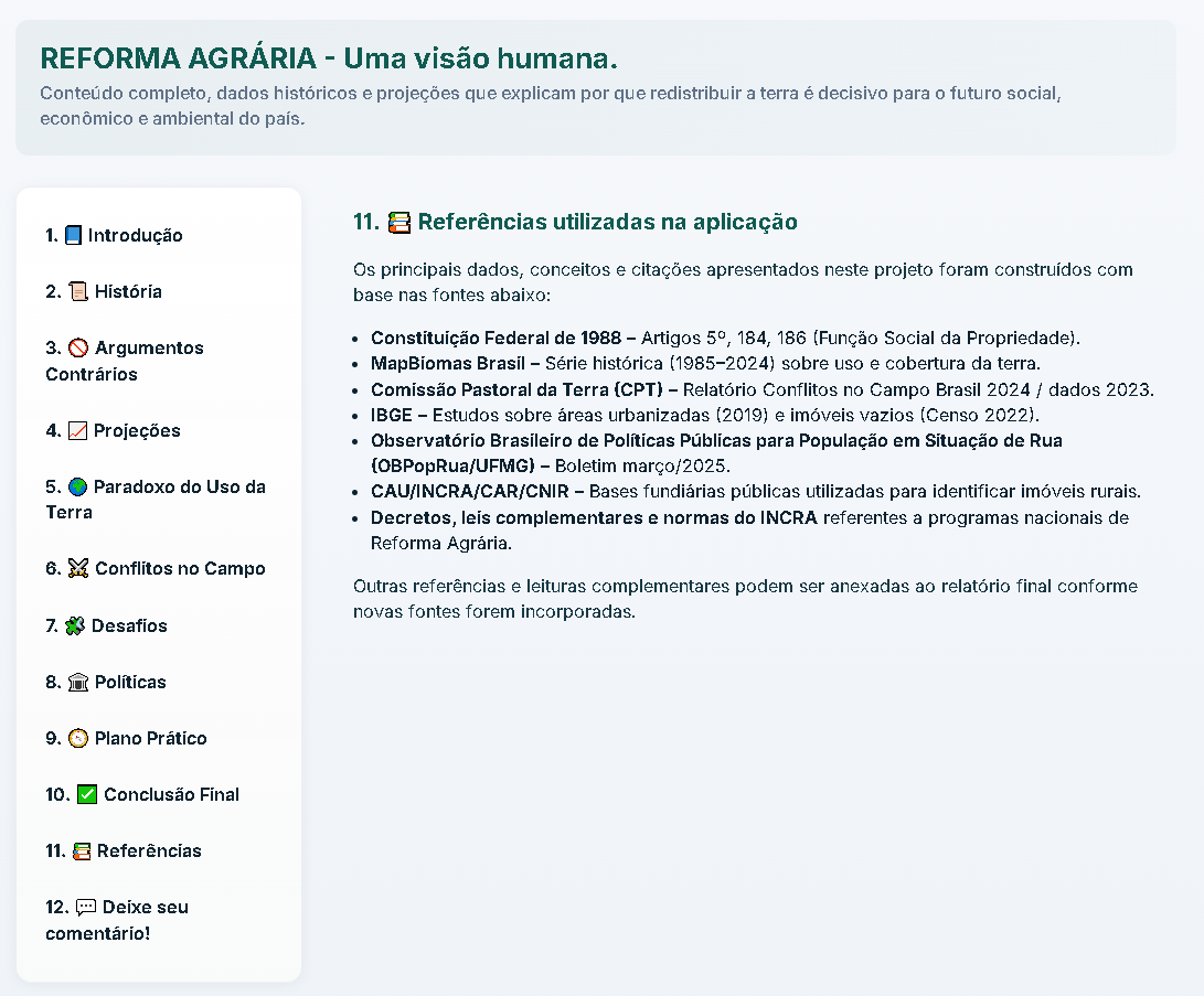
Opening section with the project's central proposition, a subject overview, and the initial section-based navigation.Historical narrative covering land ownership, the colonial period, the Land Law, and land concentration.A panel that organizes arguments against agrarian reform and presents each point in an accordion format.A projections section explaining land use and visualizing the growth of urbanized areas over time.A supporting chart comparing agricultural crops, with explanatory text that reinforces the visual argument.A discussion of the tension between agribusiness and agrarian reform, focusing on soybeans, rice, and the consolidation of export-oriented large estates.An overview of rural conflicts, highlighting violence, territorial disputes, and the subject's social impacts.A section on the challenge of classifying unproductive land, including its legal definition and the limits of inspection and land inventories.A panel of policies and instruments that favor agribusiness, organized into easy-to-scan topics.The first part of a practical plan covering distribution criteria, beneficiary selection, and allocation mechanisms.The plan's continuation, covering timelines, financial sustainability, a final checklist, and a summarized distribution proposal.A final conclusion summarizing the problem, revisiting the central data, and closing the project's argument.A reference panel containing legal sources and data from MapBiomas, CPT, IBGE, UFMG, and other sources used in the application.A closing section with an embedded comment form for collecting feedback and public interaction.
What the project set out to solve
Bring clarity to long-form content and data distributed across extensive sections.
Improve the visual organization of an informational page.
Make reading more direct and accessible on the web.
Turn information into a more effective digital presence.